Specialists in drone mapping, LiDAR scanning, and cadastral surveys. Delivering precise geospatial data for land development, infrastructure, and inspection projects.


![[interface] image of software interface on a tablet (for a erp company)](https://cdn.prod.website-files.com/685dac5b9d8d3d75b2b43a0a/68786b7308f3cb9a4c72f144_DJI_20250227150129_0049.webp)


![[headshot]](https://cdn.prod.website-files.com/685dac5b9d8d3d75b2b43a0a/687872ee93322c7fdbbbbc71_transport-concept-with-railways-top-view.webp)


Find answers to questions about aerial surveying, drone mapping, and geospatial data solutions for land development, infrastructure and asset management.
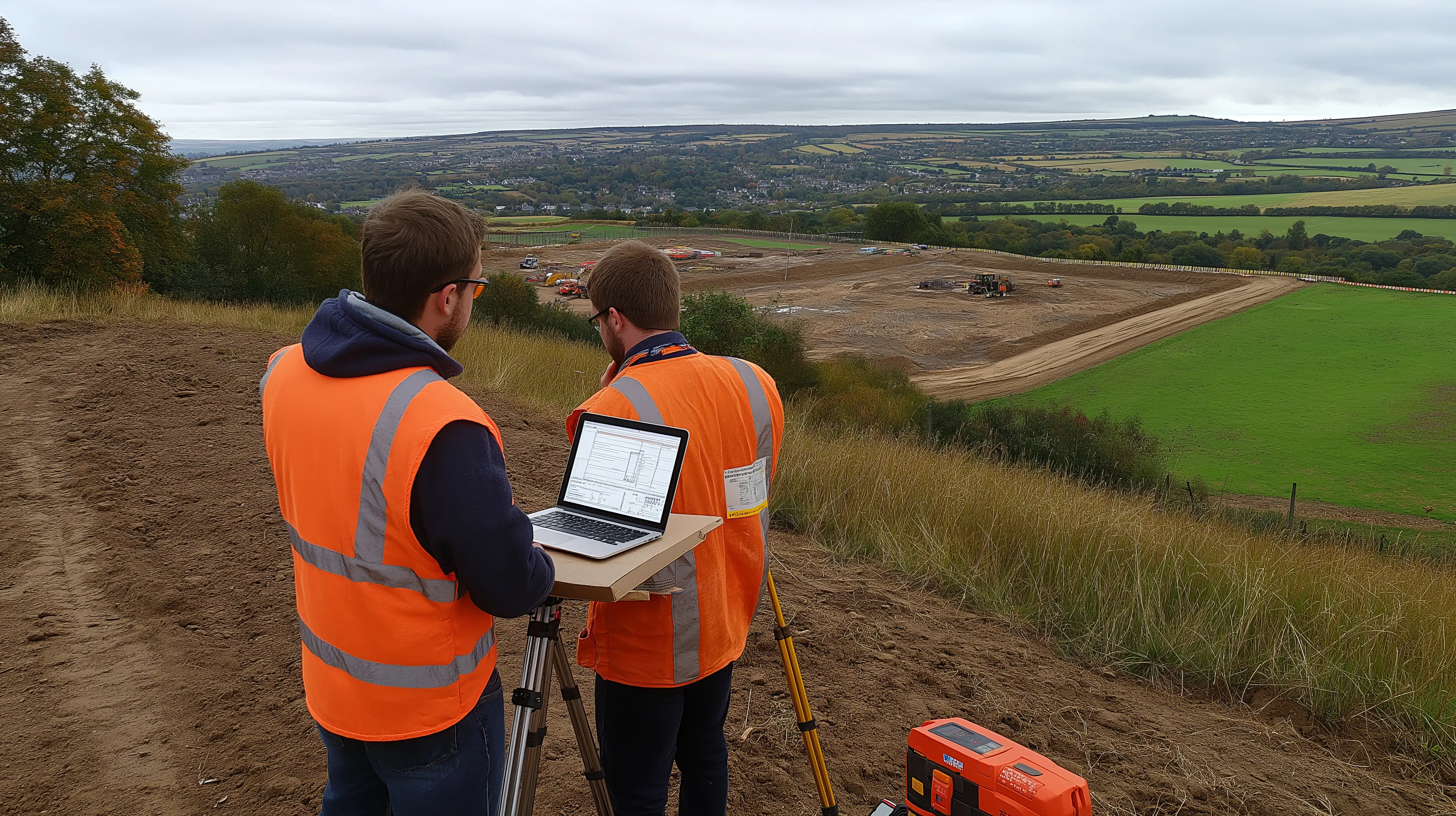
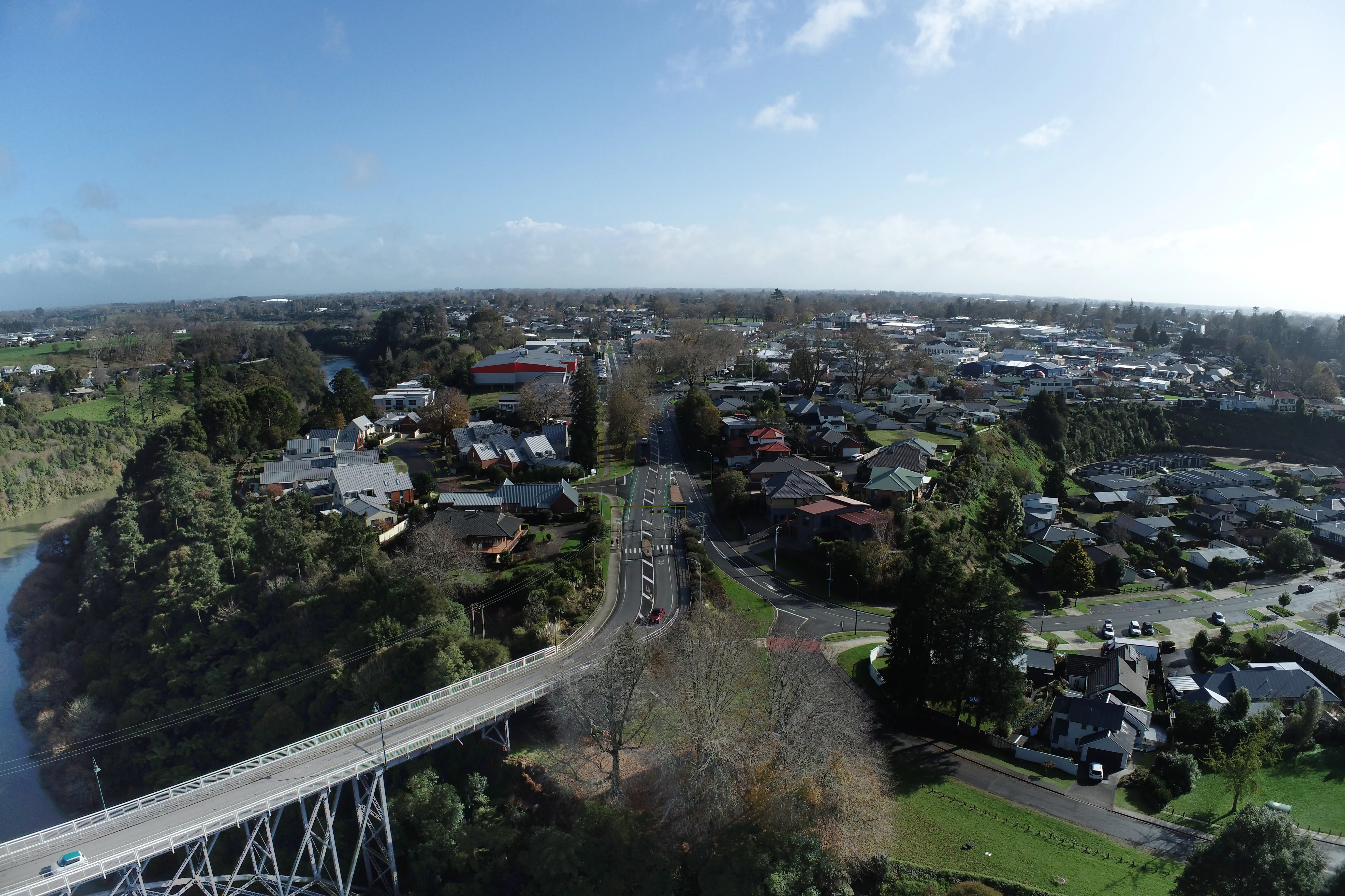
Get In TouchAerial land surveying integrates drones, LiDAR, and advanced sensors to collect precise spatial data for mapping, measurement, and analysis. This approach improves efficiency, safety, and accuracy for large or complex sites.
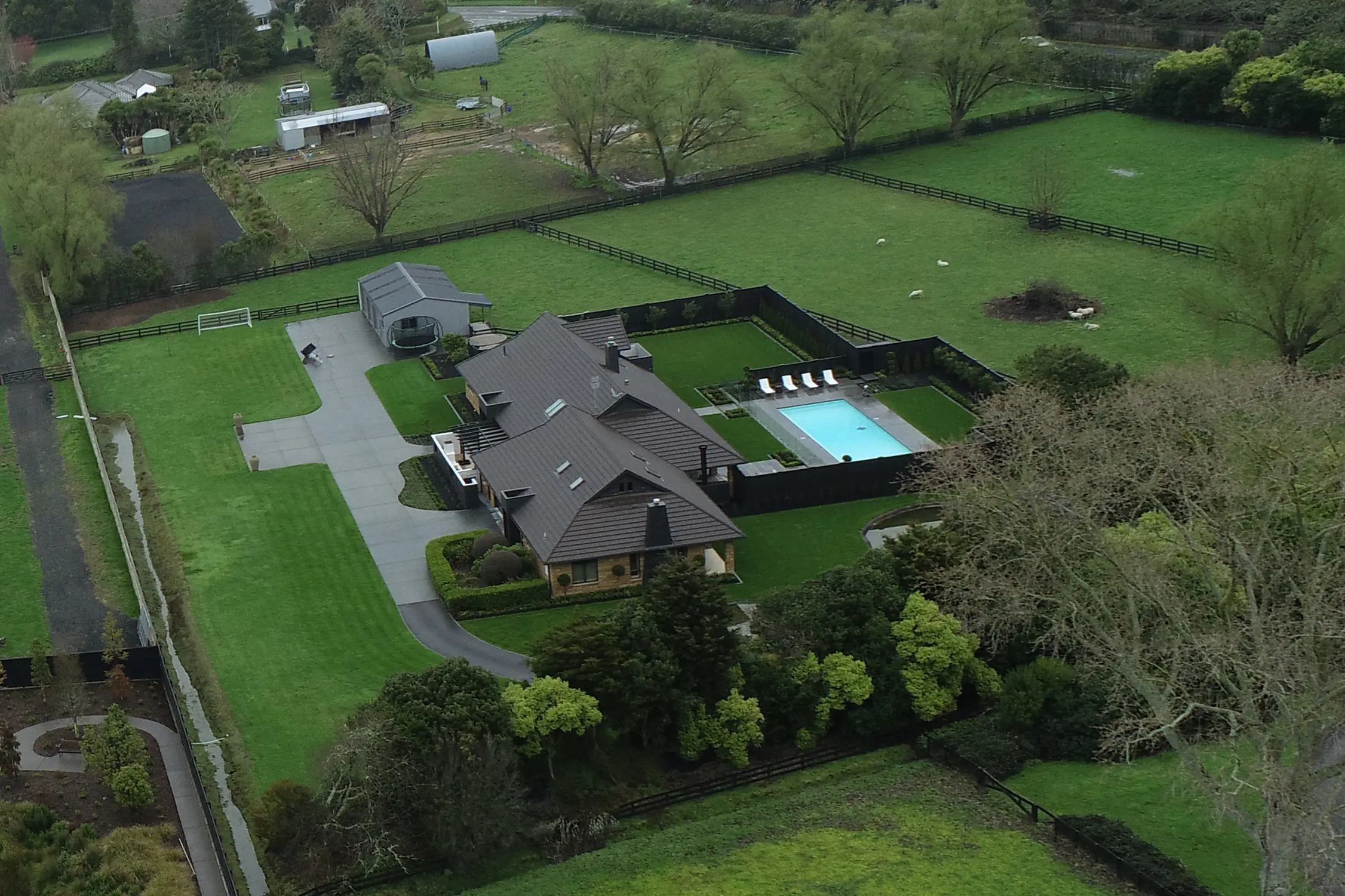
Drone mapping achieves high precision, often at centimeter-level accuracy, when using ground control points and professional processing. Results meet industry standards for engineering and cadastral applications.
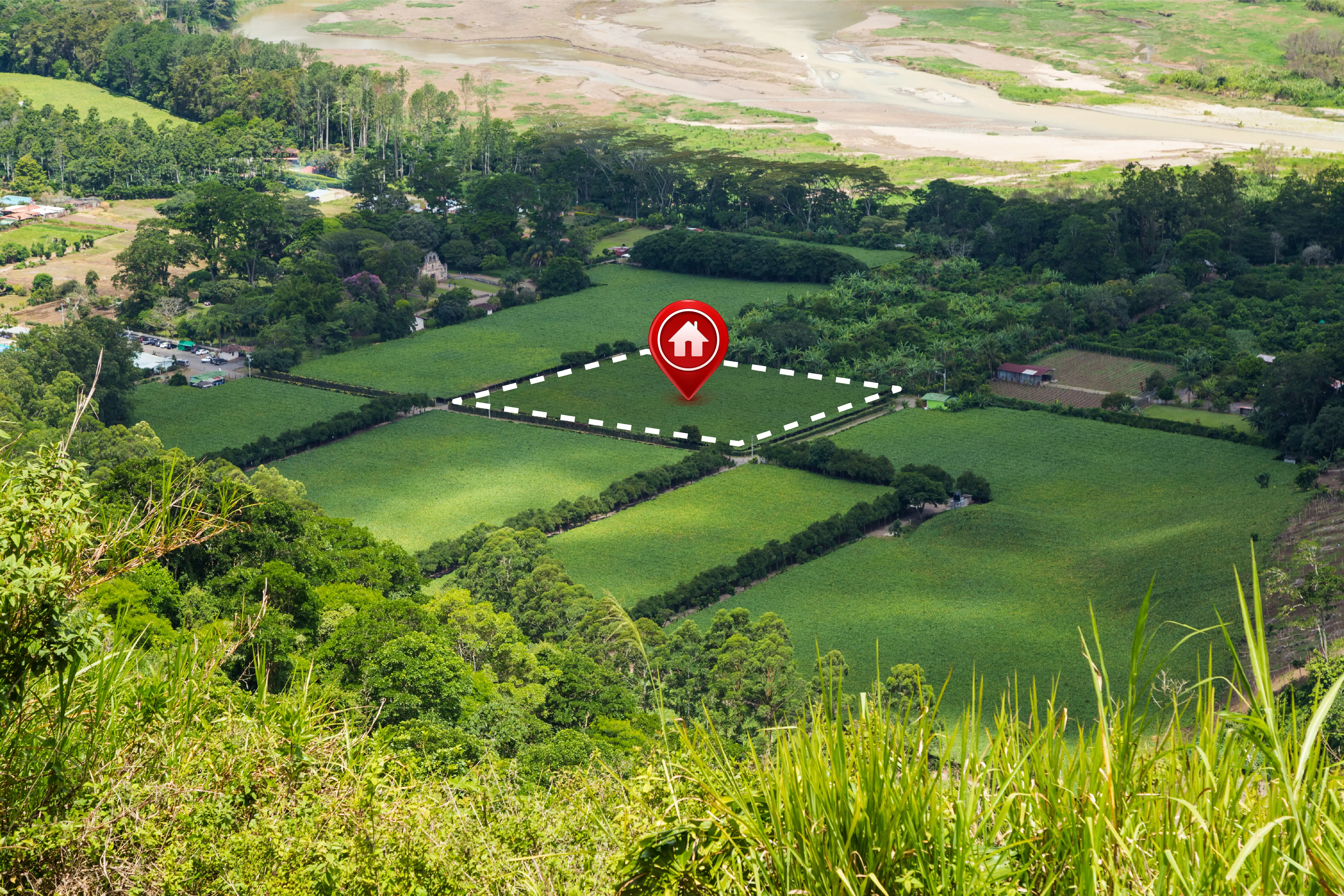
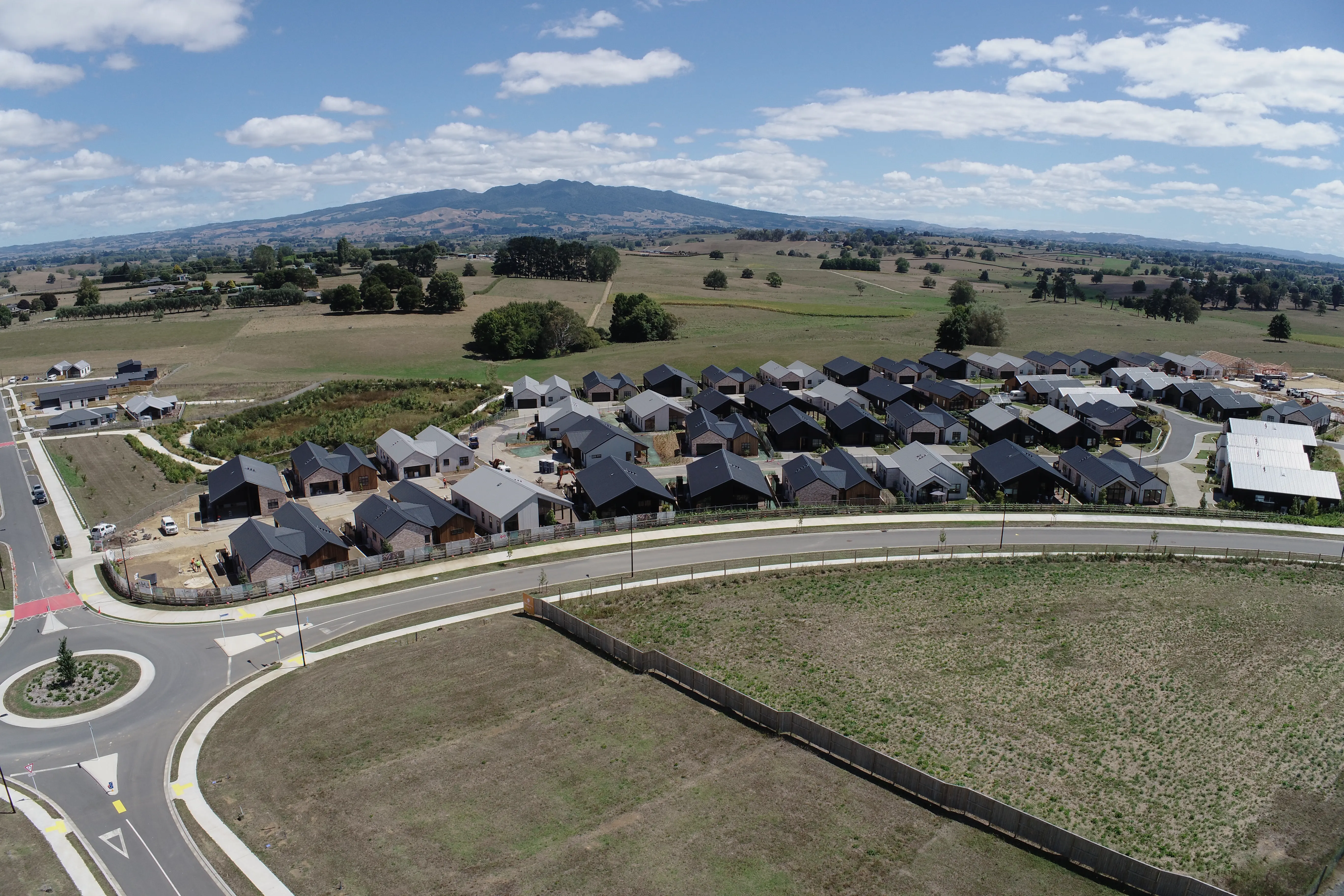
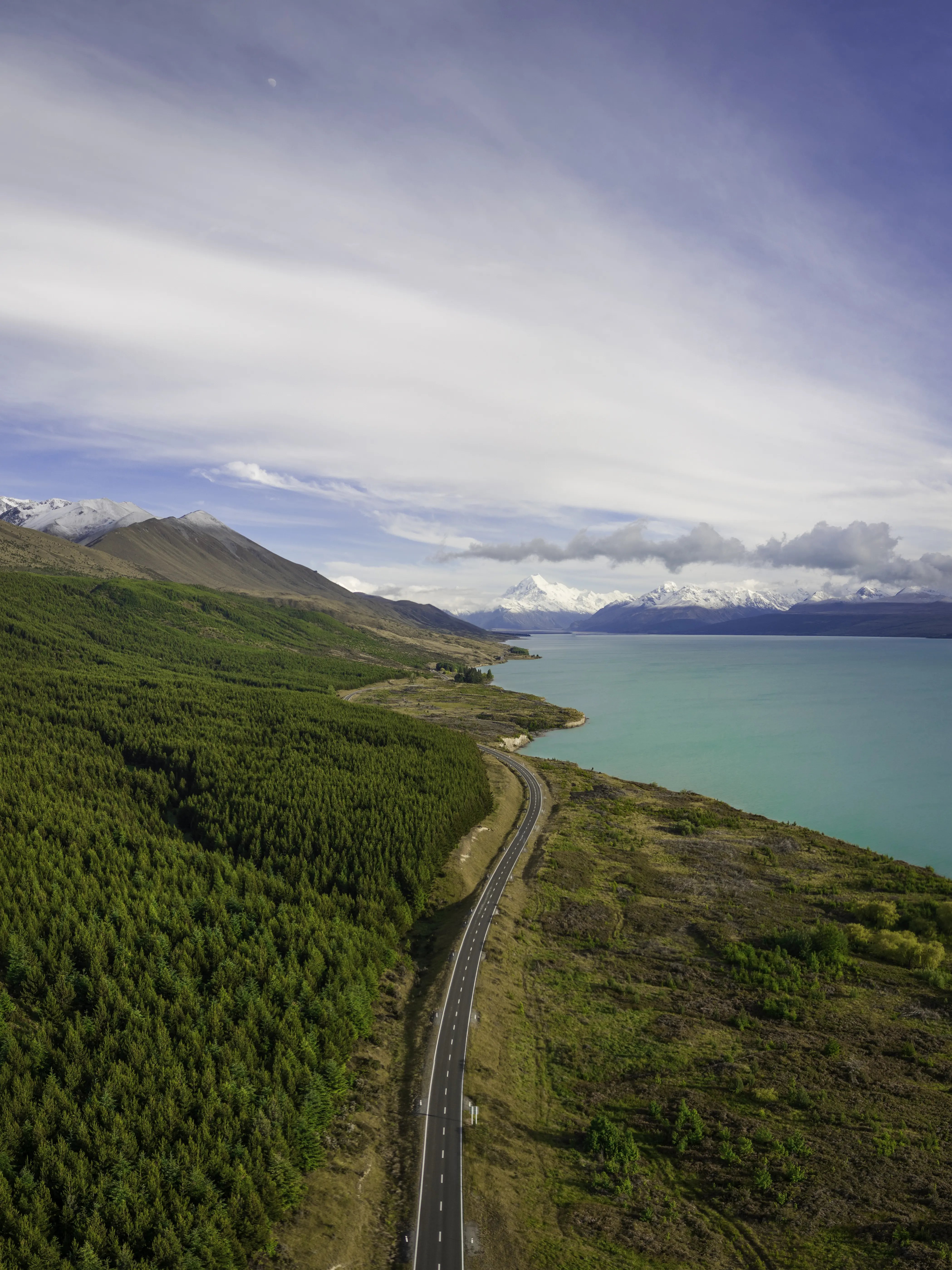
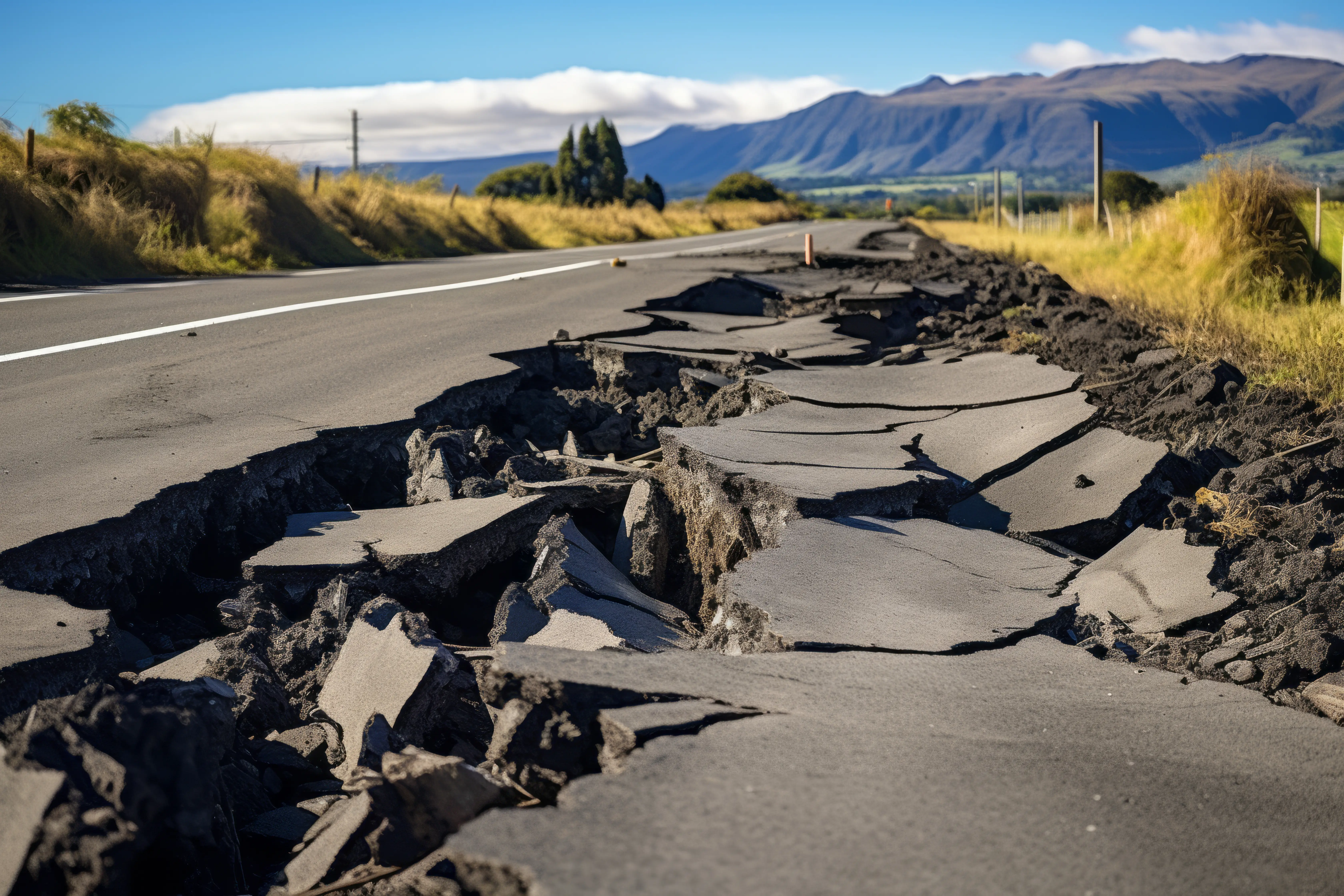
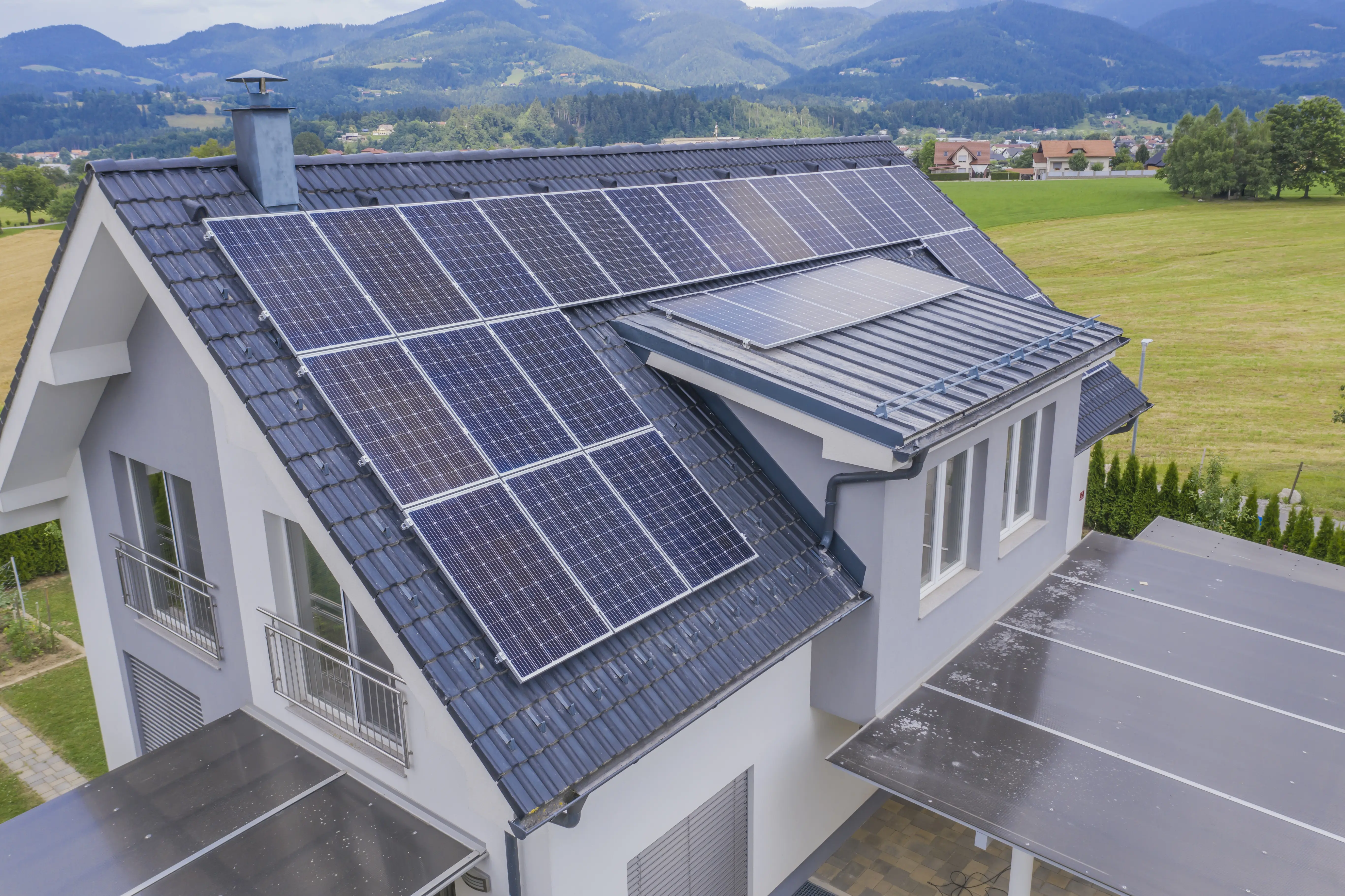
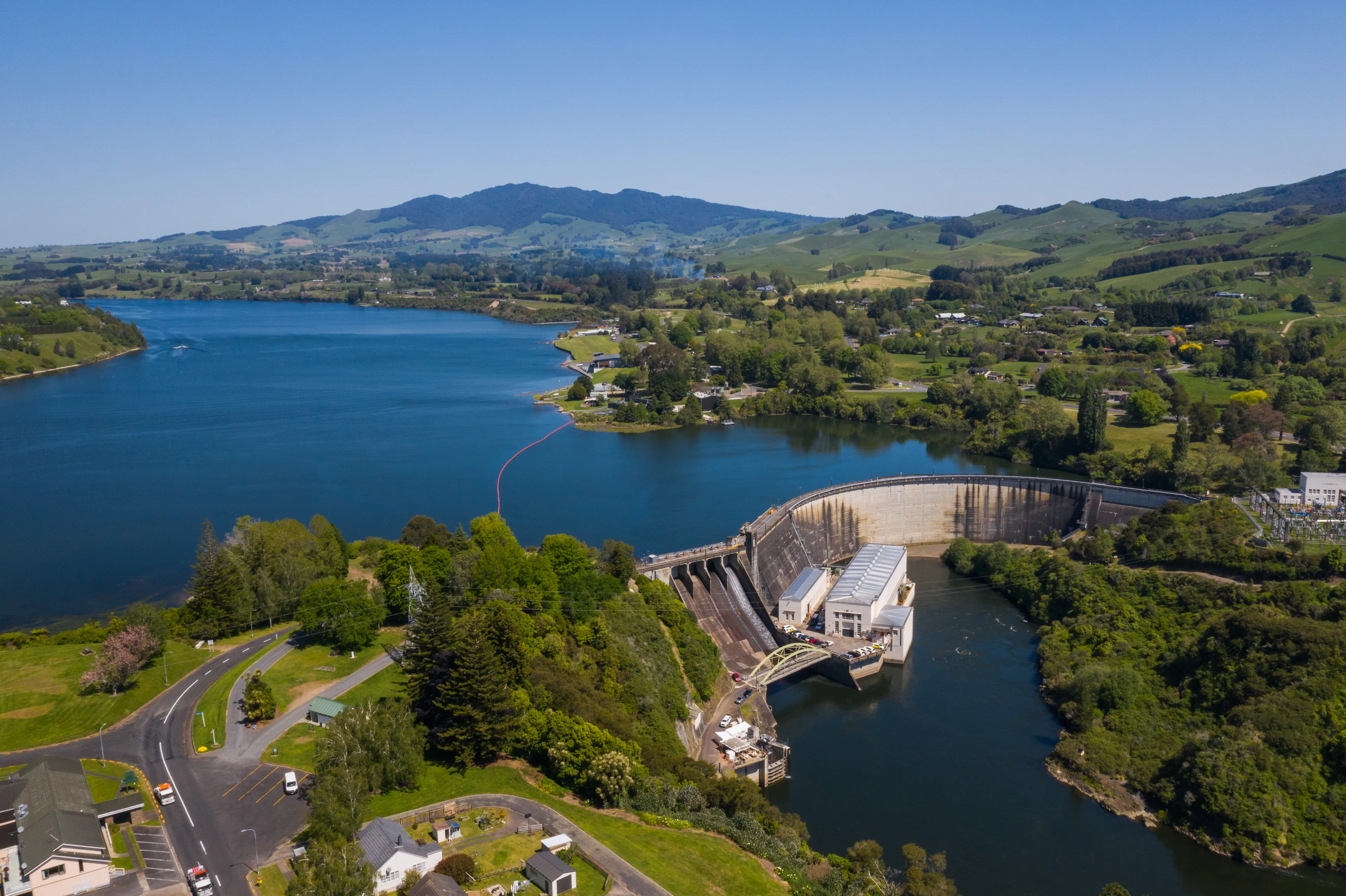
Aerial surveys benefit land development, construction, utilities, renewable energy, transportation, real estate, and forestry. Applications include site planning, inspections, monitoring, and asset management.
Deliverables include orthomosaic maps, 3D models, topographic surveys, point clouds, and inspection reports. Outputs are tailored to project needs and compatible with industry-standard software.