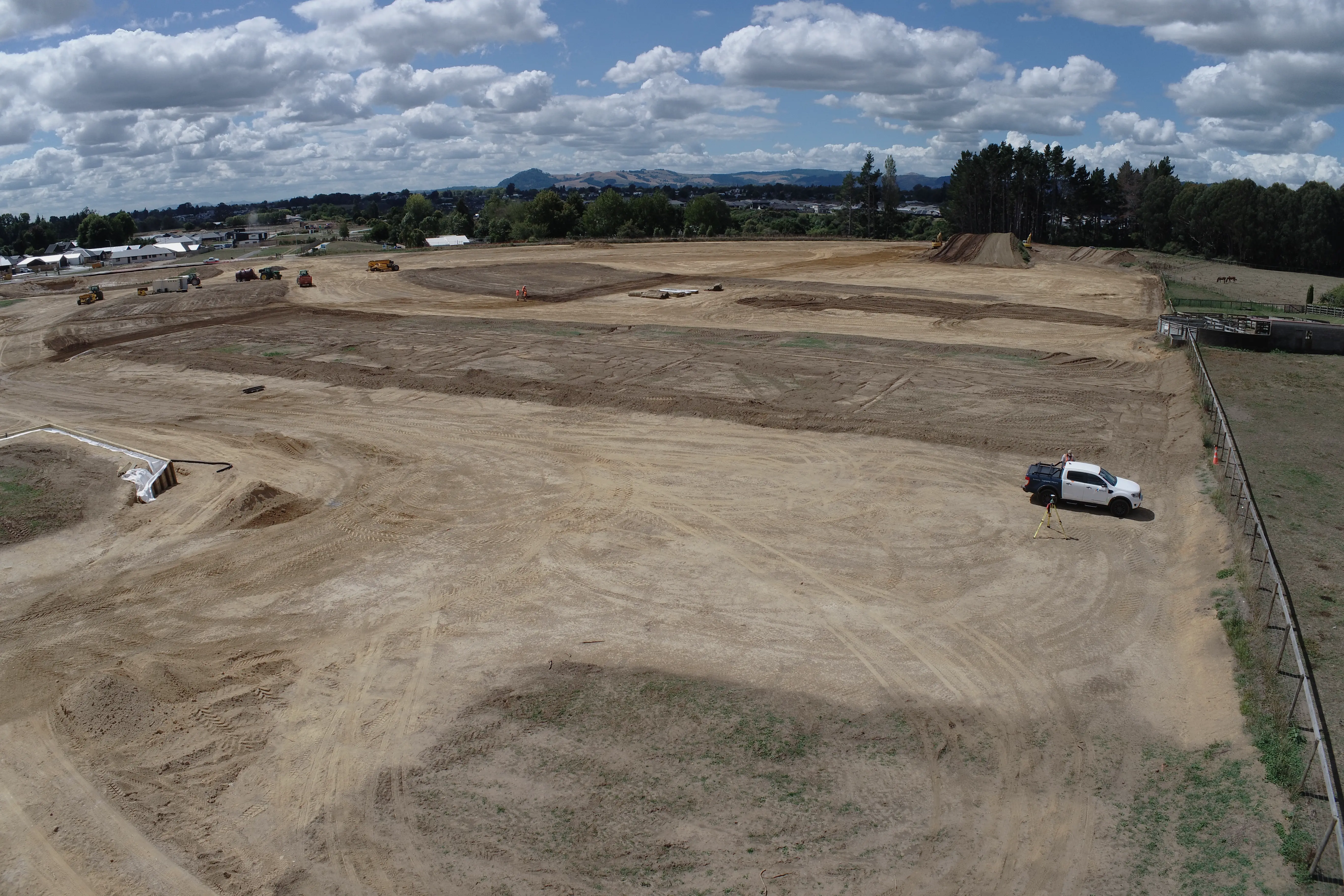
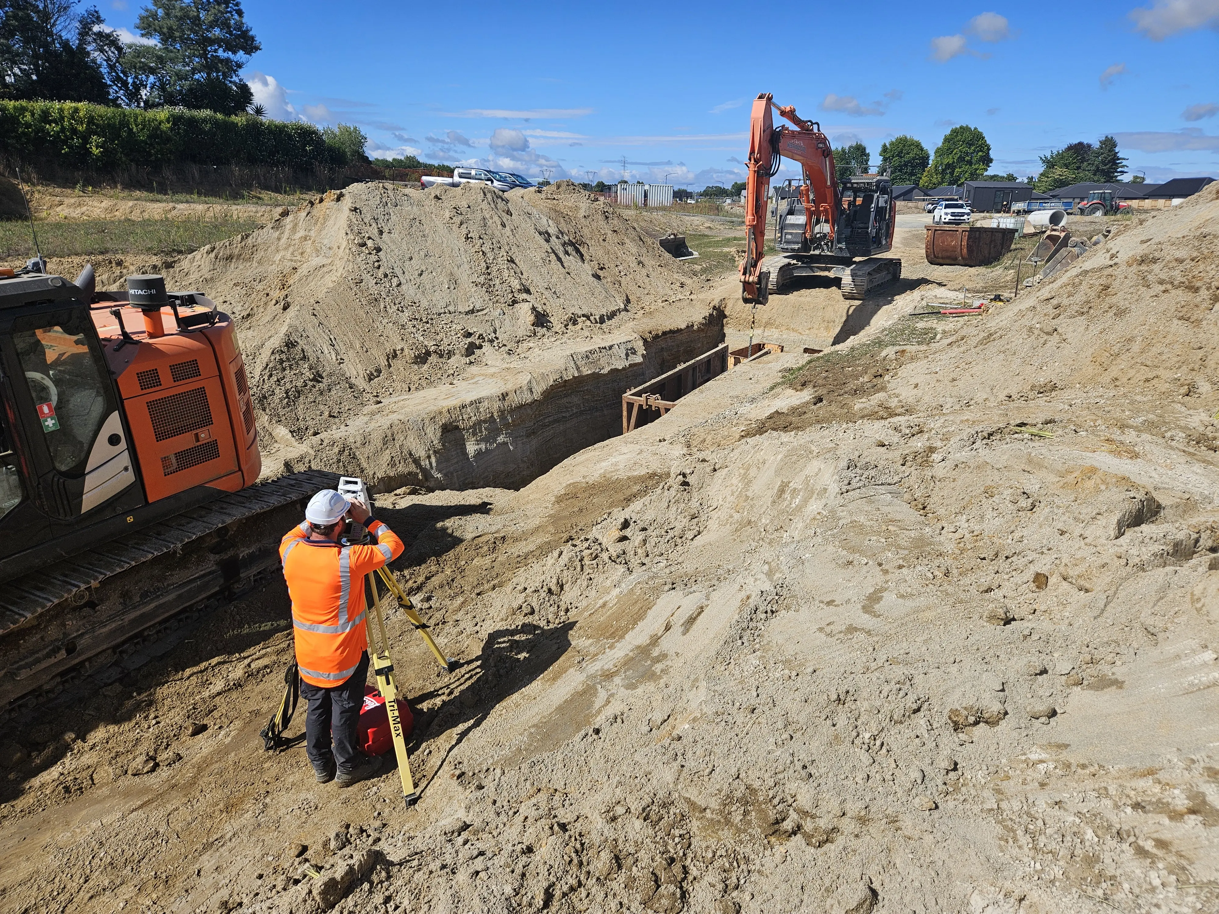
Specialists in aerial surveying, LiDAR scanning, and geospatial solutions for land development, infrastructure, and inspection. Delivering precise mapping and actionable insights for every project.


![[digital project] image of industry insights article (for a pr firm)](https://cdn.prod.website-files.com/685dac5b9d8d3d75b2b43a0a/687803b893cef30cef9654df_IMG_4921.webp)

For detailed project consultations or to request a quote, reach out to our licensed surveyors. We provide precise aerial mapping, inspection, and geospatial solutions for land development, infrastructure, and more.
We'd love to talk about your needs and deliver value and insights that ensure results for your project.
Reach out for solutions and advice.